


Early Maps of Crete : overview
Classical Maps of Crete from 1296 - 1913 AD
| Carta Pisana (about 1296)
showing present day Gavdos, and the safe harbour of Loutro |
 |
| Map of Crete by Cristoforo Buondelmonti, 1420
Note: North is to the right side of the map |
 |
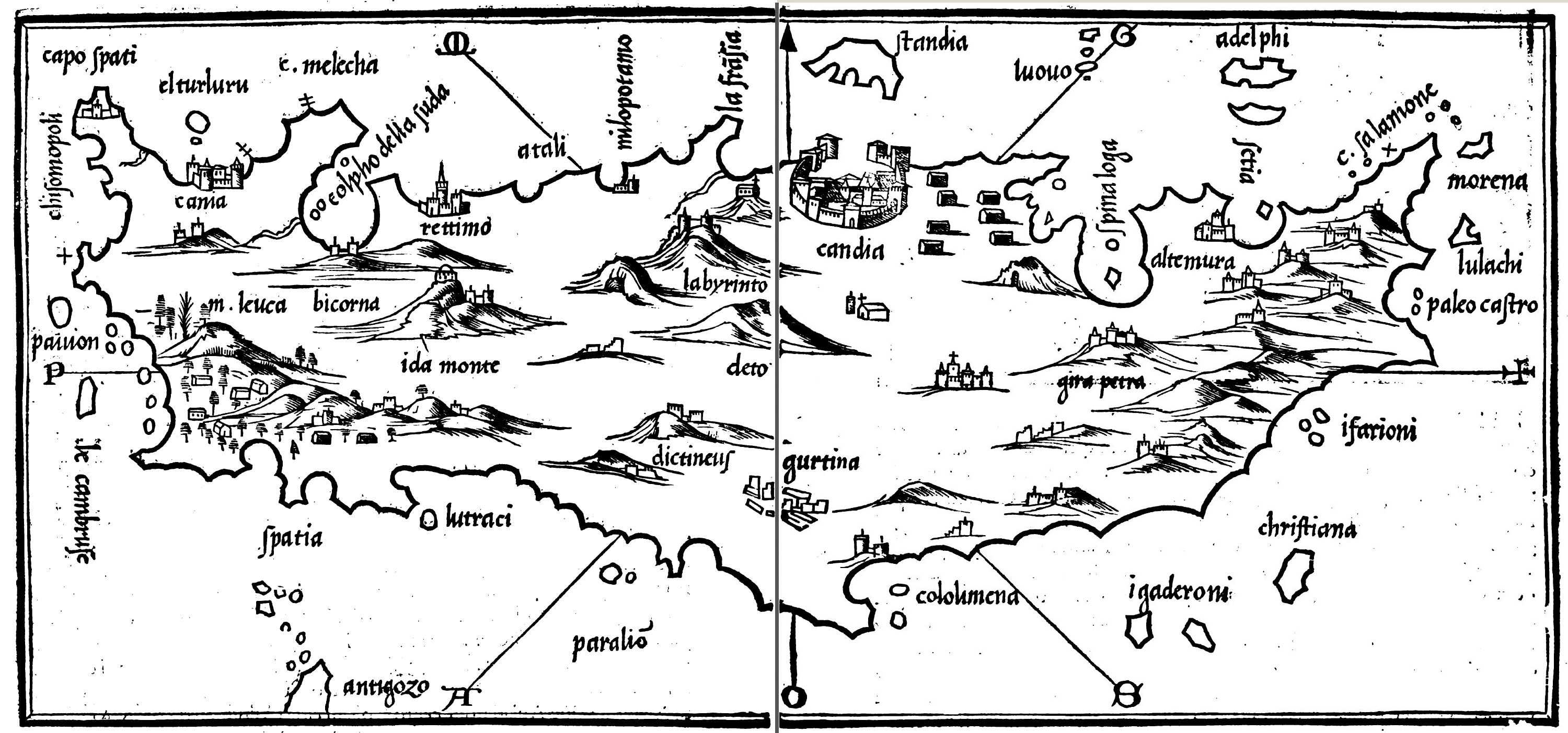
| Map of Crete by Bartolommeo dalli Sonetti, 1485
Note: top is SOUTH. Map mentions La Sfachia |
 |
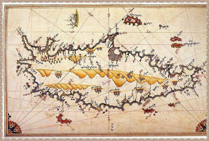
| The Kitab-i Bahriye of Piri Reis, 1521
Piri Reis - Crete; you can clearly see Gavdos, Loutro and its fort, and the harbour of Sfakia, surrounded by houses |
 |
| Map of Crete from Benedetto Bordone's Isolario, 1528
The map mentions m. Leuca [White Mountains], Antigozo [Gavdopoula] and Spatia [Sfakia] |
 |
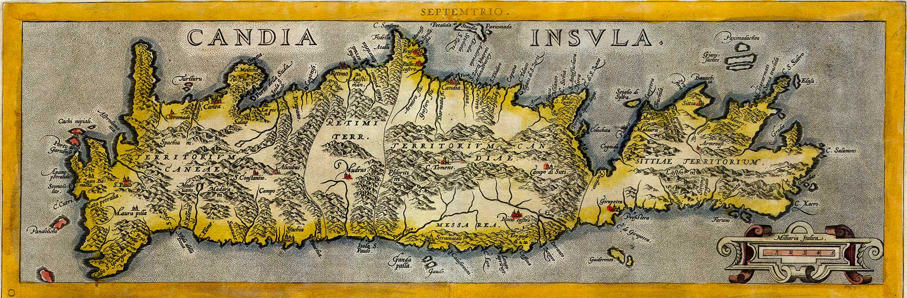
| Map of Crete by Giovanni Francesco Camocio, 1574
Note: North is at the left. Sfakia is called Lasfa |
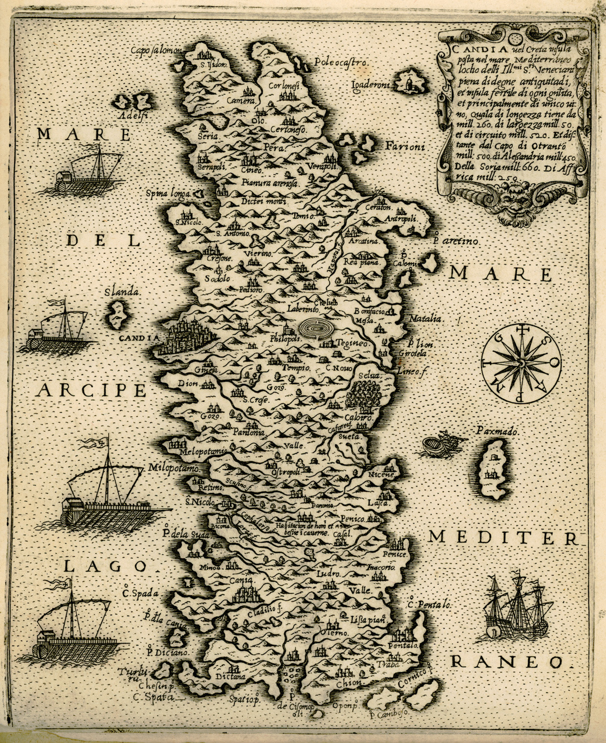 |
| Map of Crete by Abraham Ortelius, 1584
Mentions Sfachia |
 |
| Map of Crete by Jean Zuallart, 1587
a.k.a. Giovanni Zuallardo |
 |
| Map of Crete by Antonio Millo, 1591
Mentions La Sfagia |
 |
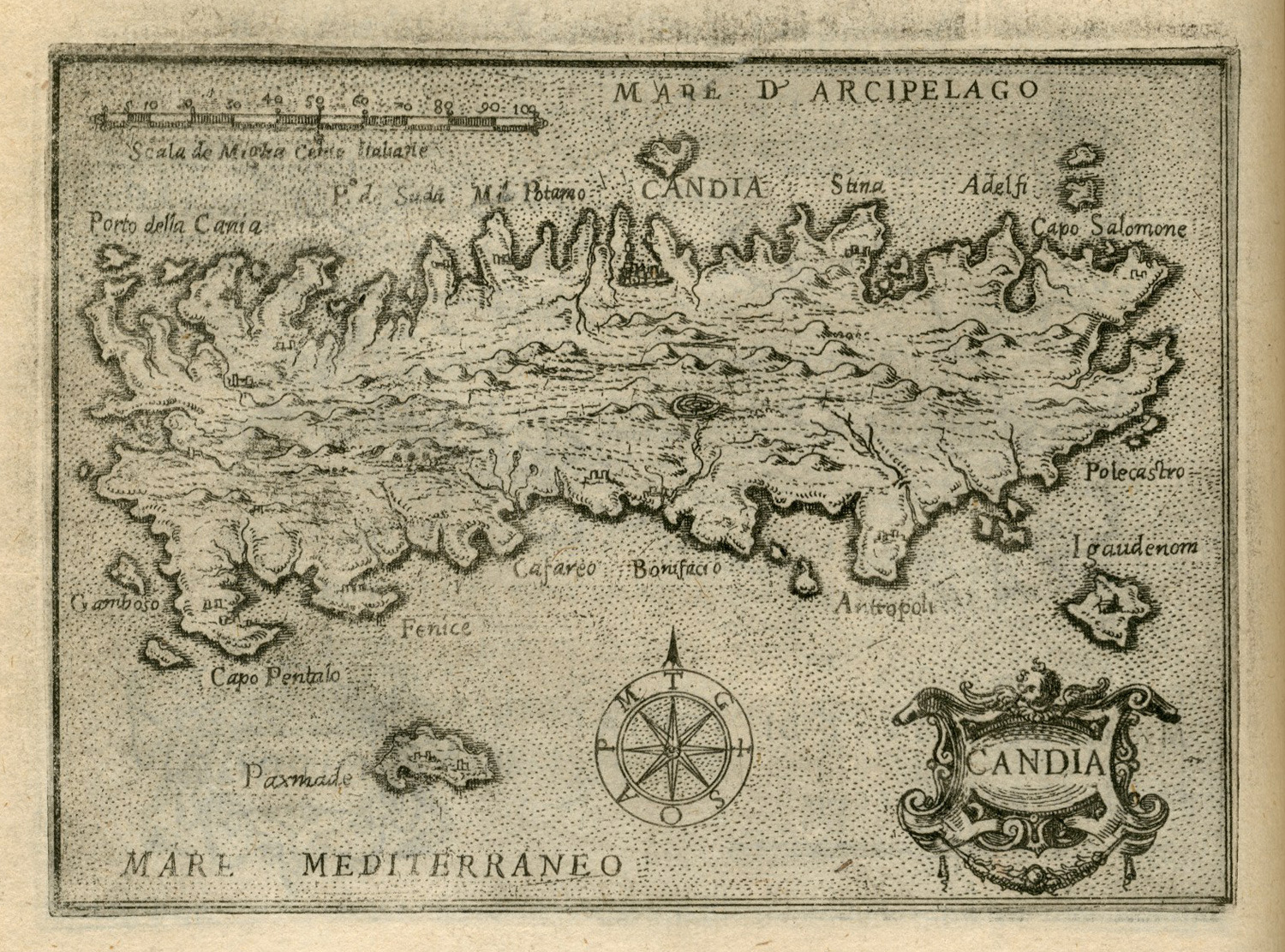
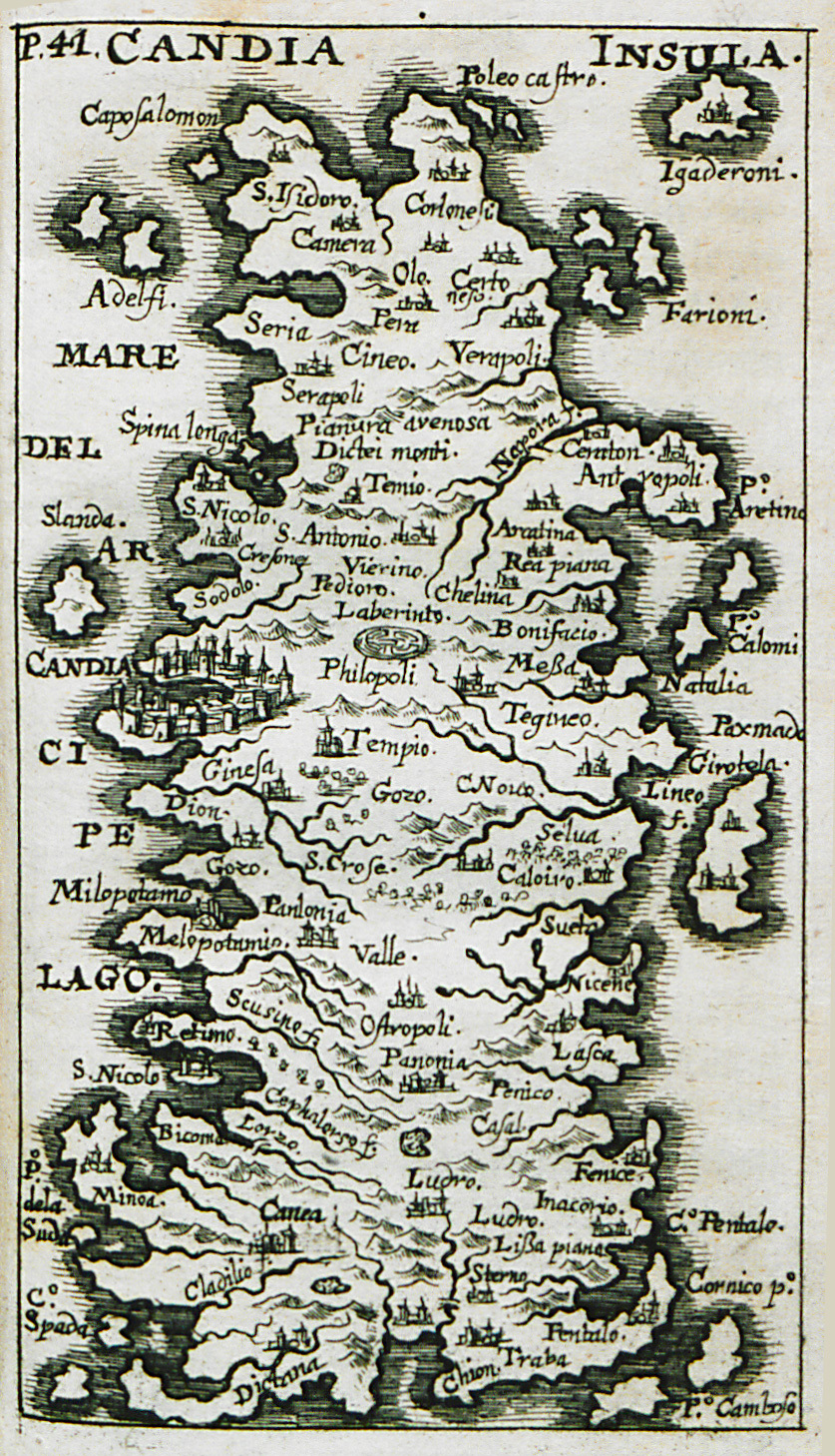
| Map of Crete by Giuseppe Rosaccio, 1598 |  |
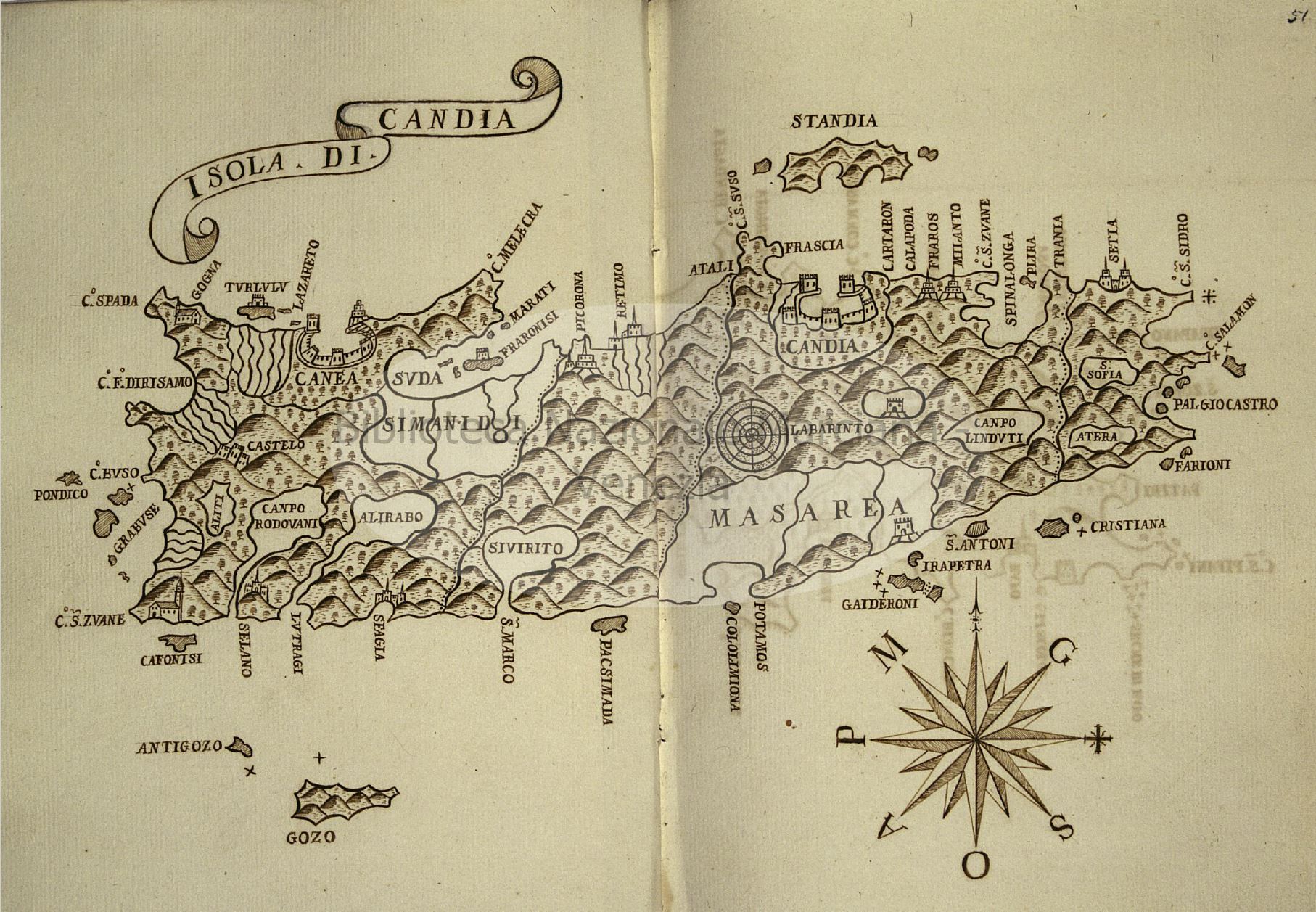
| Map of Crete by Francesco Basilicata, 1618 | 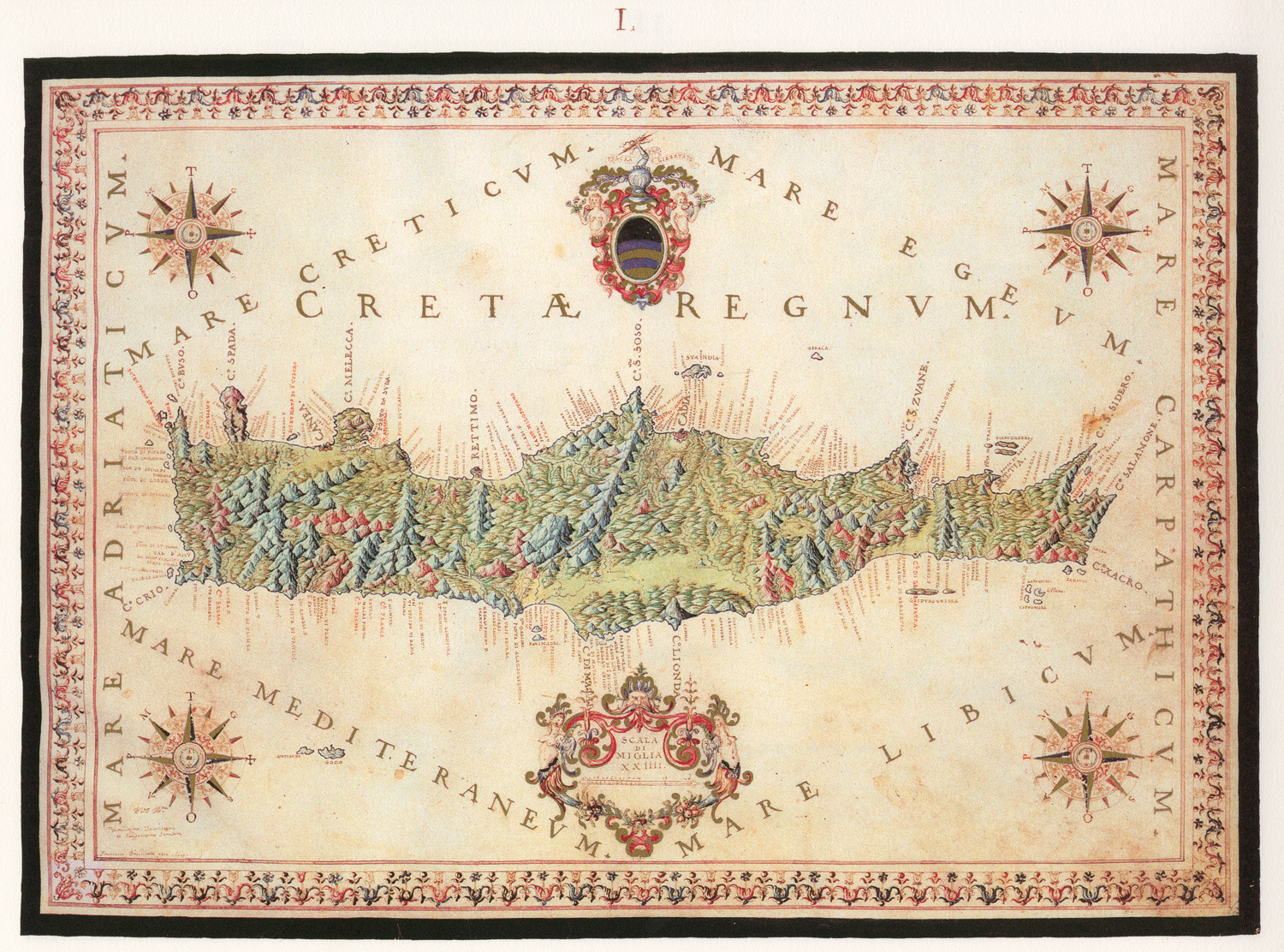 |
| Map of Crete by Johannes van Cootwijck, 1619
Note: North is at the left |
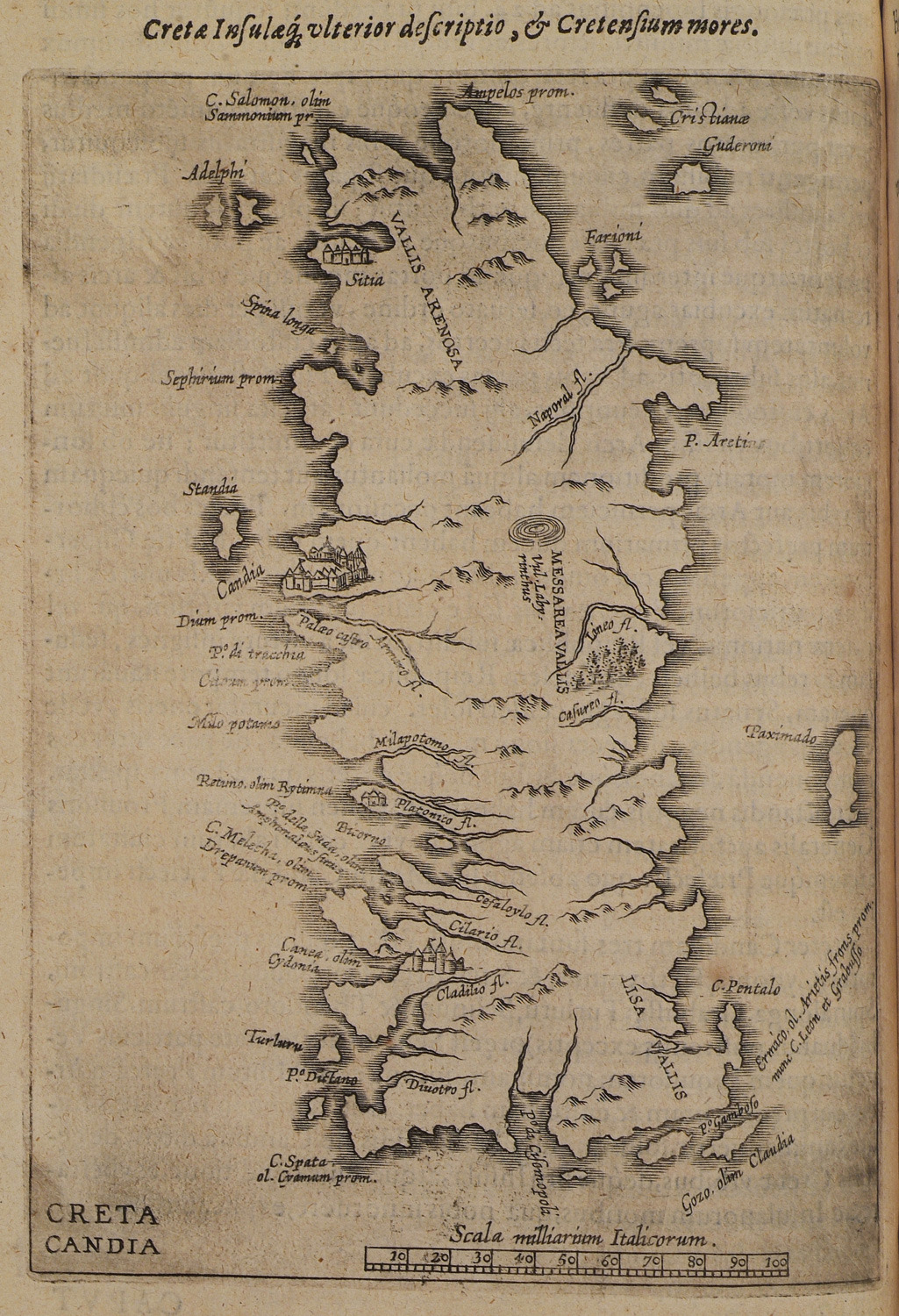 |
| Map of Crete by Tomasso Porcacchi, 1620 | 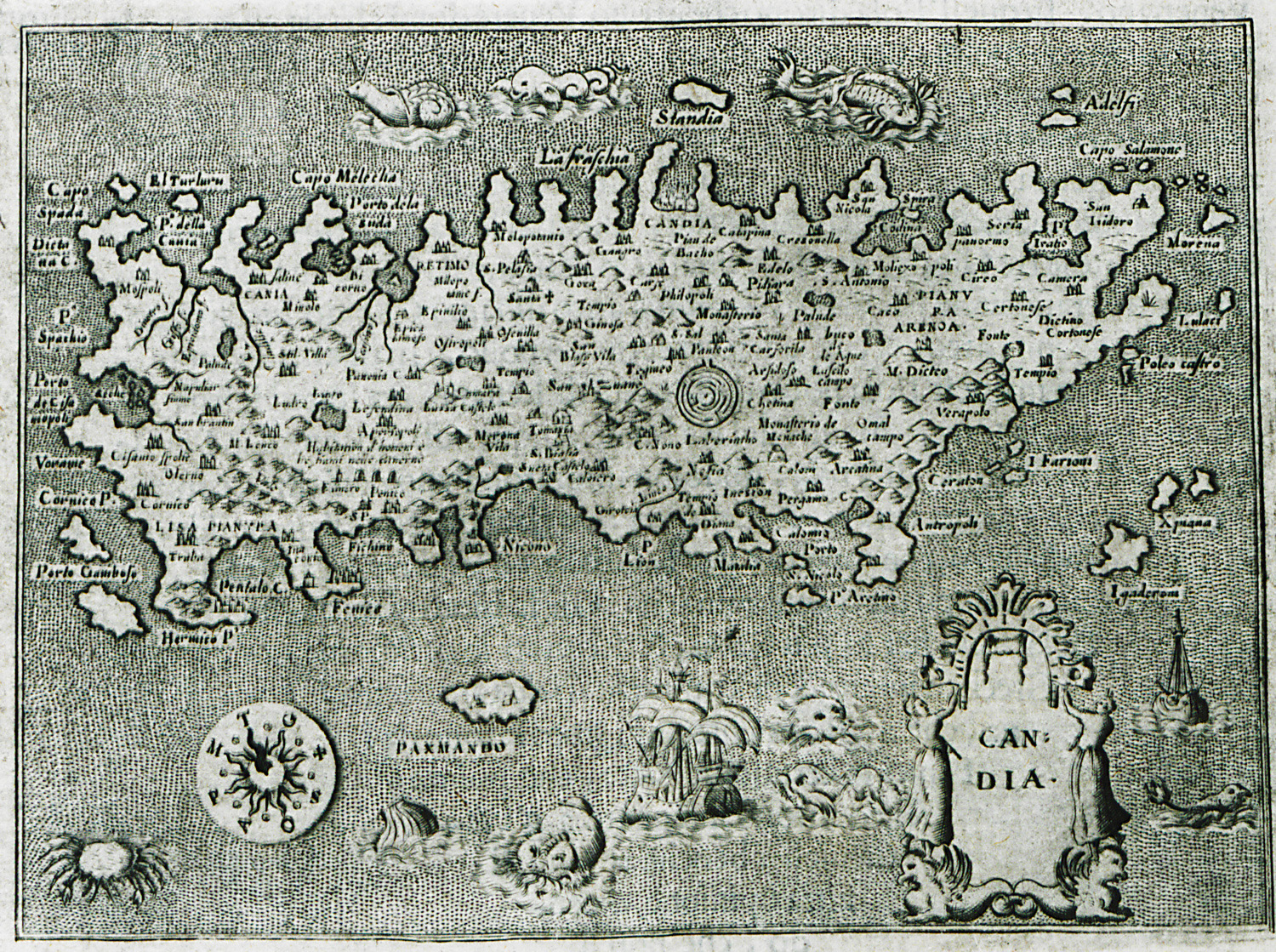 |
| Map of Crete by Johann Laurenberg, 1661 | 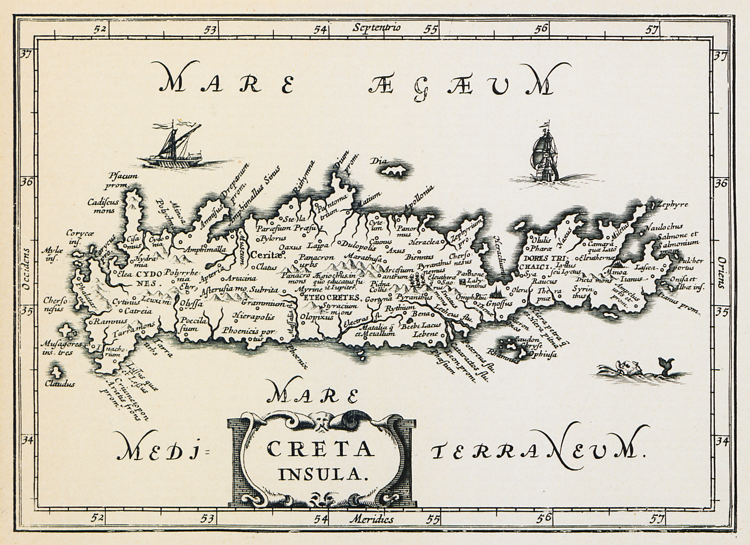 |
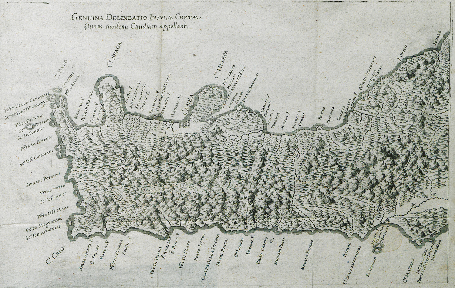
| Map of West Crete by Roger Palmer, 1669
Castra della Sfachia is Chora Sfakion |
 |
| Map of East Crete by Roger Palmer, 1669 |  |
| Map of Crete by Jacob von Sandrart, 1686
Note: North is at the left |
 |
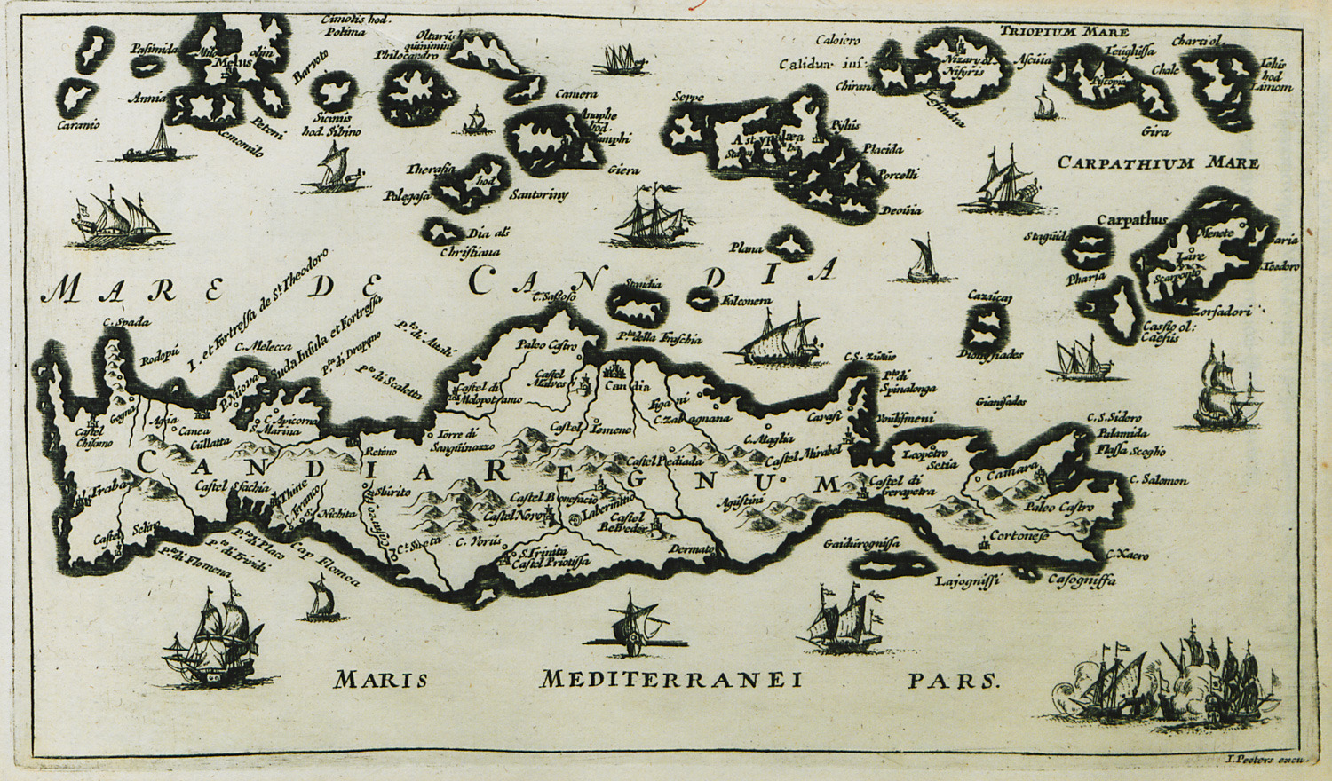
| Map of Crete by Jacob Peeters, 1690
Mentions Castel Sfachia |
 |
| Map of Crete by Vincenzo Maria Coronelli, 1696
Mentions Castello Sfacchia |
 |
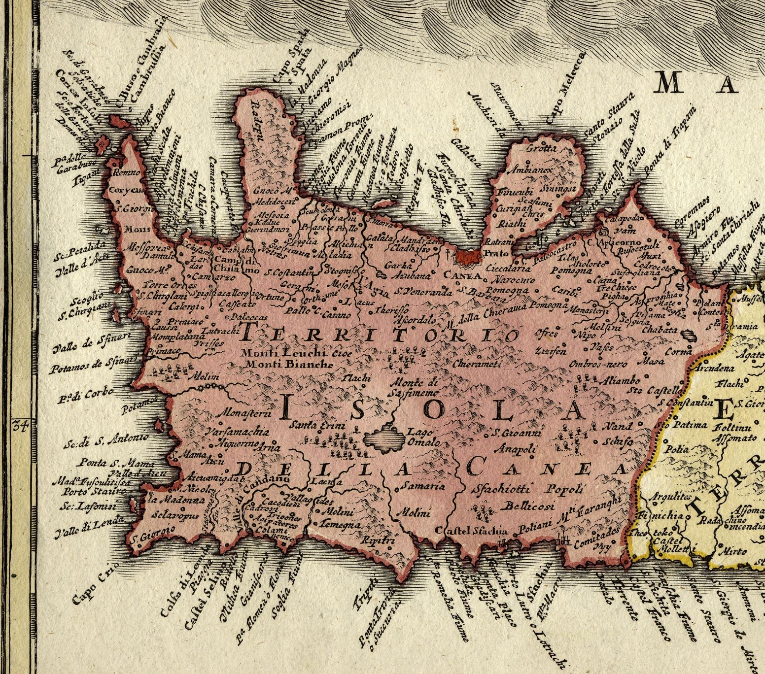
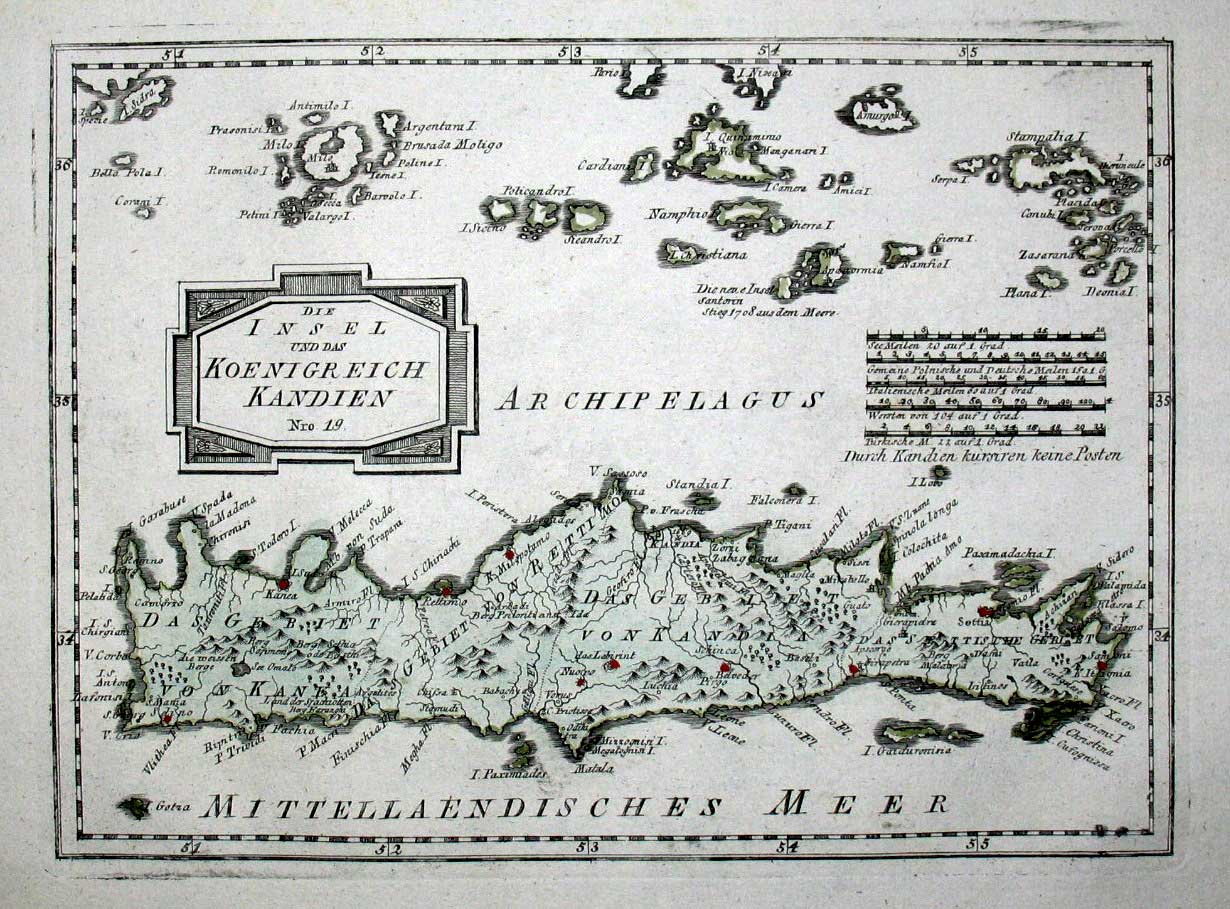
| Map of West Crete by Johann Baptist Homann, 1720
Mentions Castel Sfachia |
 |
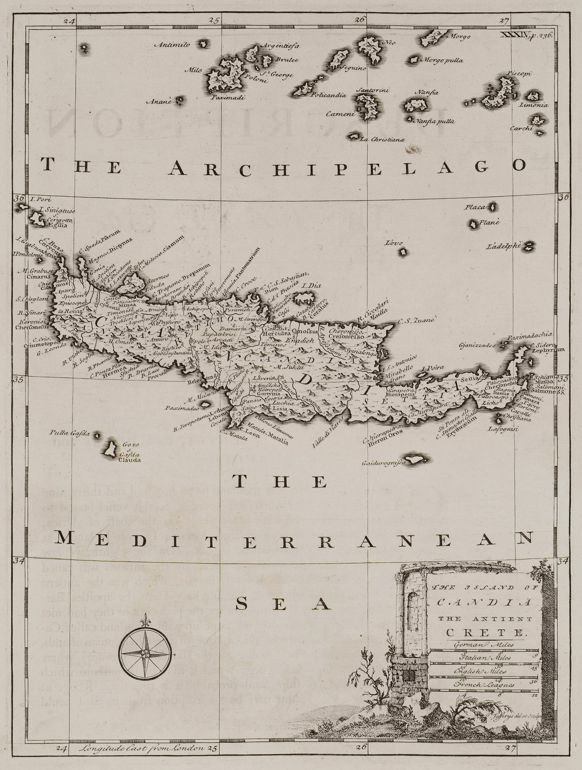
| Map of Crete by Richard Pococke, 1745
Sfachia is mentioned |
 |
| Map of Crete by F. J. J. von Reilly, 1791
Mentions Fachia and "Land der Sfachiotten" |
 |
| Map of Crete by Baldwin & Cradock, 1829
Pt. of Sphakia is mentioned |
 |
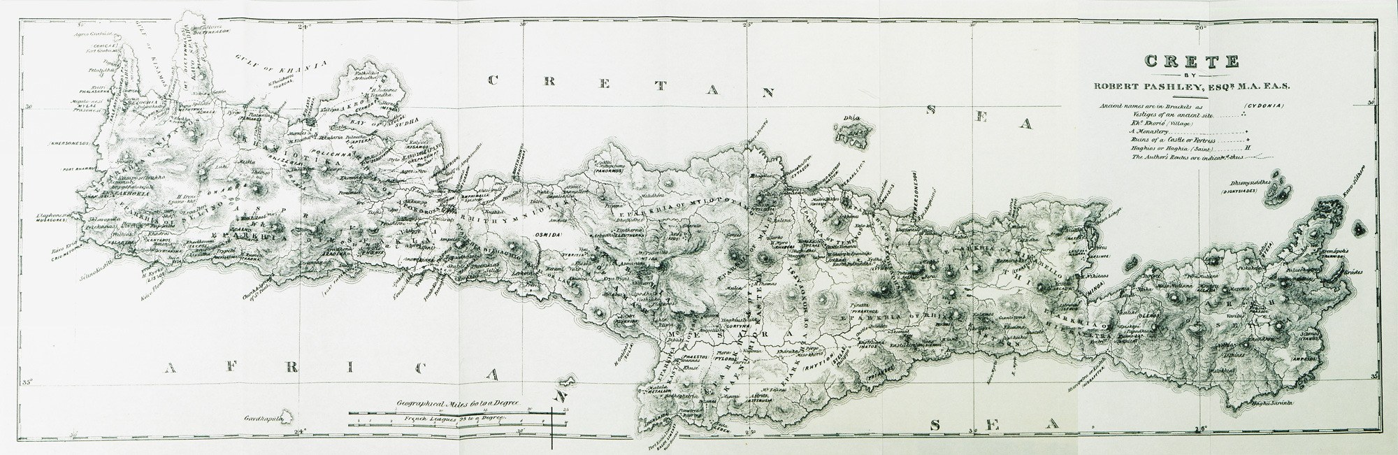
| Map of Crete by Robert Pashley, 1837
Sfakia is indicated |
 |
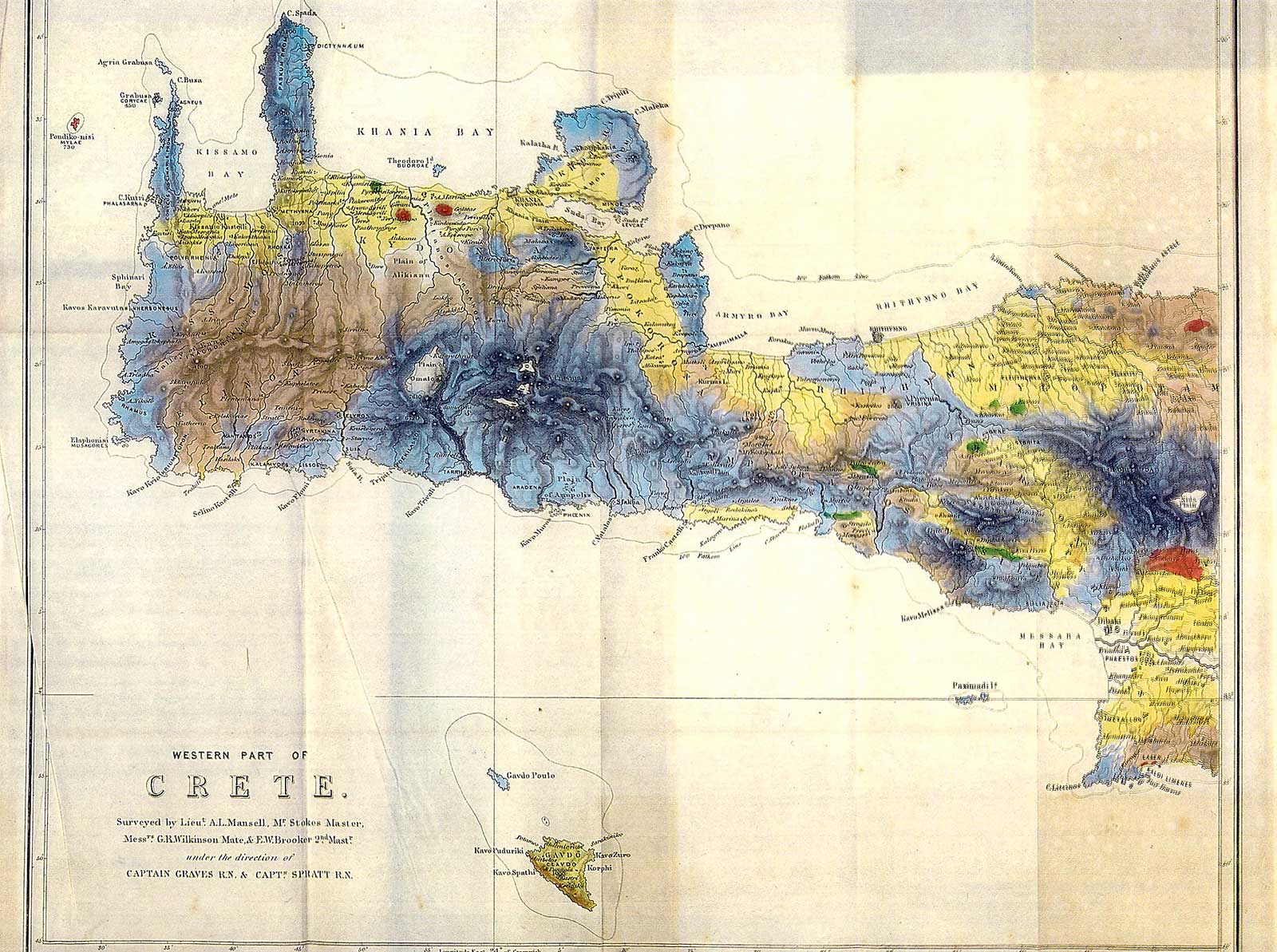
| Map of West Crete by Thomas Abel Brimage Spratt, 1865
Sfakia is indicated |
 |
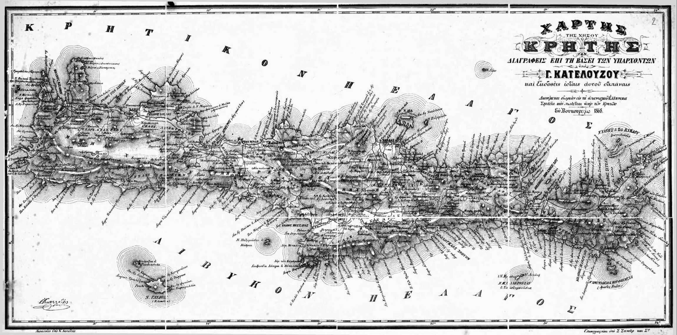
| Map of Crete by G. Katelouzou, 1868
Greek map of Crete |
 |
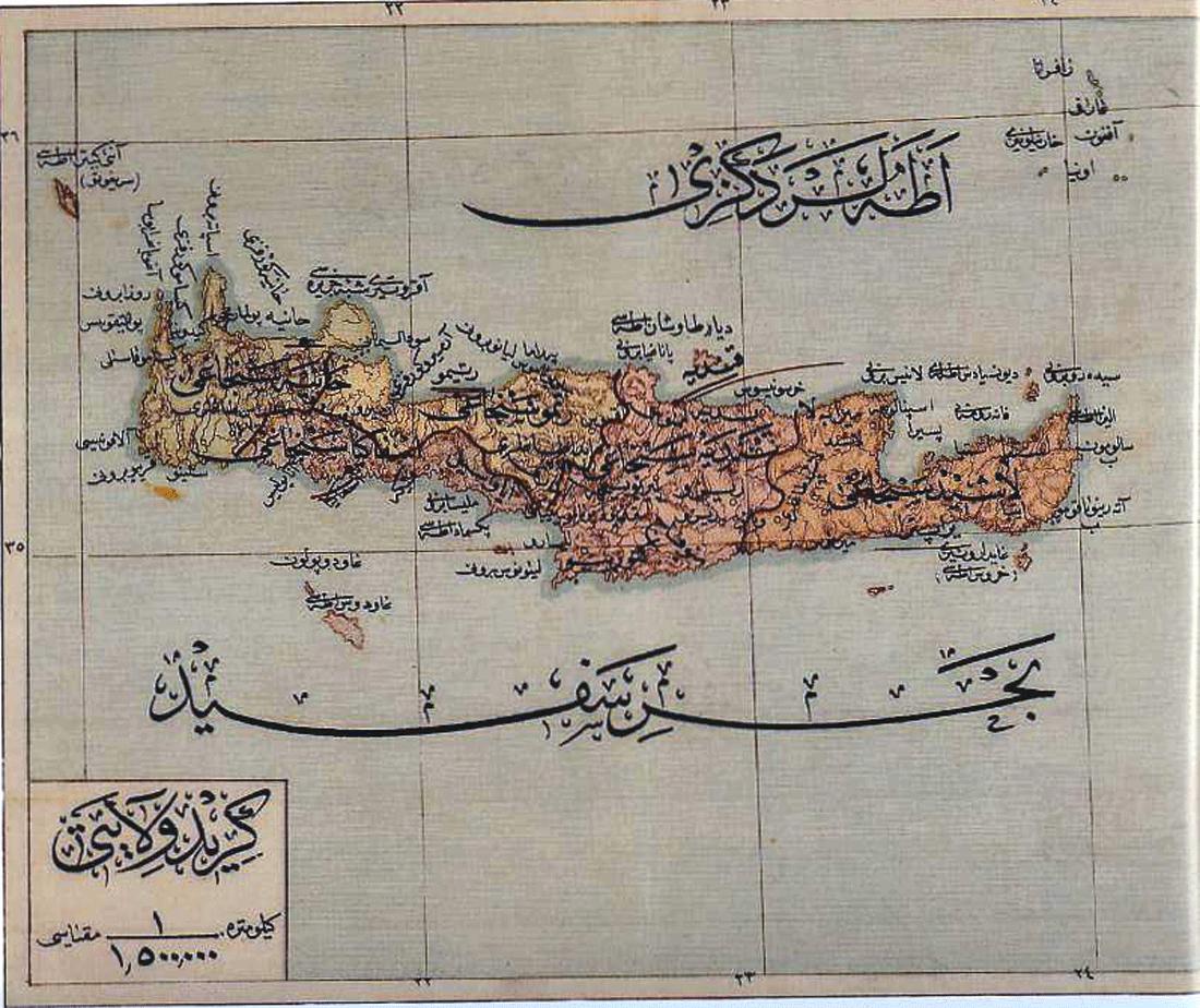
| Turkish map Crete, 1907
From Memalik i Mahruse yi Şahane ye mahsus mükemmel ve mufassal atlas |
 |
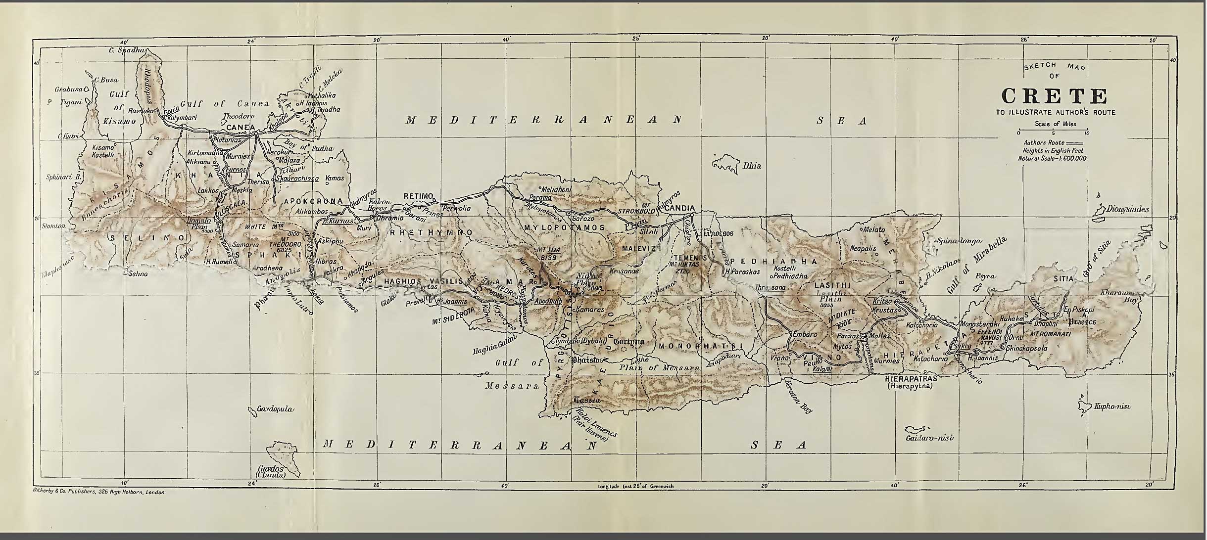
| Map of Crete by Aubyn Trevor Battye, 1913
Sfakia is indicated |
 |
You can find an overview of all our maps of Crete here:
Maps of Crete