


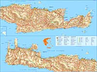
Maps of Crete : overview
Maps of Crete: Map of West Crete - Central Crete - East Crete, road map Crete, maps bus routes, city maps, satellite maps Crete, walking map Sfakia, Crete.
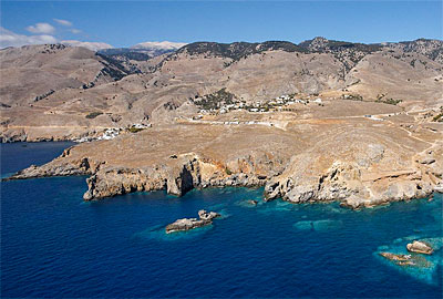
| Map of Chora Sfakion
Street plan indicating restaurants, shops and hotels |
 |
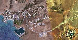
| Google Earth Map of Chora Sfakion
High resolution air photography |
 |
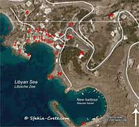
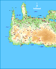
| Map of the Sfakia Region
Roads, paths, mountains and villages |
 |
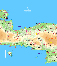
| Map of the Sfakia Region
All villages and roads large download: 518 kB |
 |
| Map of Chania Town | 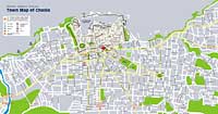 |
| Interactive maps of Chania, Rethymno and Heraklion town | 

 |
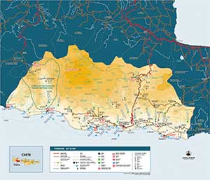
| Road map Crete
How to reach Chora Sfakion and Frangokastello from the airports in Heraklion and Chania, and all other road connections
large download: 900 kB |
 |
| Map of the public bus connections in West Crete | 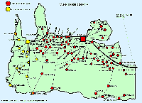 |
| Map of the Prefectures and Regions of Greece | 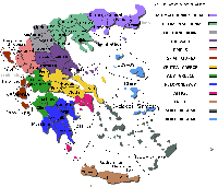 |
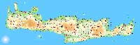
| 3D Satellite Maps of Crete | 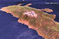 |
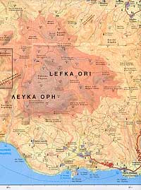
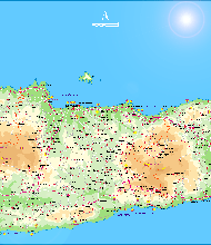
| Crete - East and West - One large map, 2 parts
From the GNTO: Greek National Tourist Office large download: PDF 8,38 MB |
 |
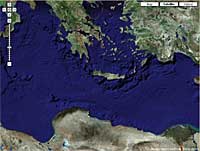
| Interactive Satellite Map of Crete
From Google |
|
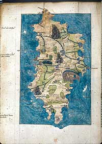
| Antique Maps of Crete
Maps from 1296 - 1900 AD |
|
| GPS map of Crete
Downloadable GPS map of Crete, and Greece |
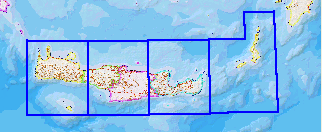 |
| 4 Large maps of Crete
See the 4 large Cretan maps below |
 |
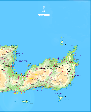
| Large map file: West Crete map 1
2008 x 2456 pixels 361 kB |
 |
| Large map file: West Crete map 2
2116 x 2456 pixels 371 kB |
 |
| Large map file: East Crete map 1
2118 x 2456 pixels 399 kB |
 |
| Large map file: East Crete map 2
2008 x 2456 pixels 296 kB |
You can find detailed instructions on how to reach Sfakia in the southwest of Crete here:
How to reach Sfakia